
Planning
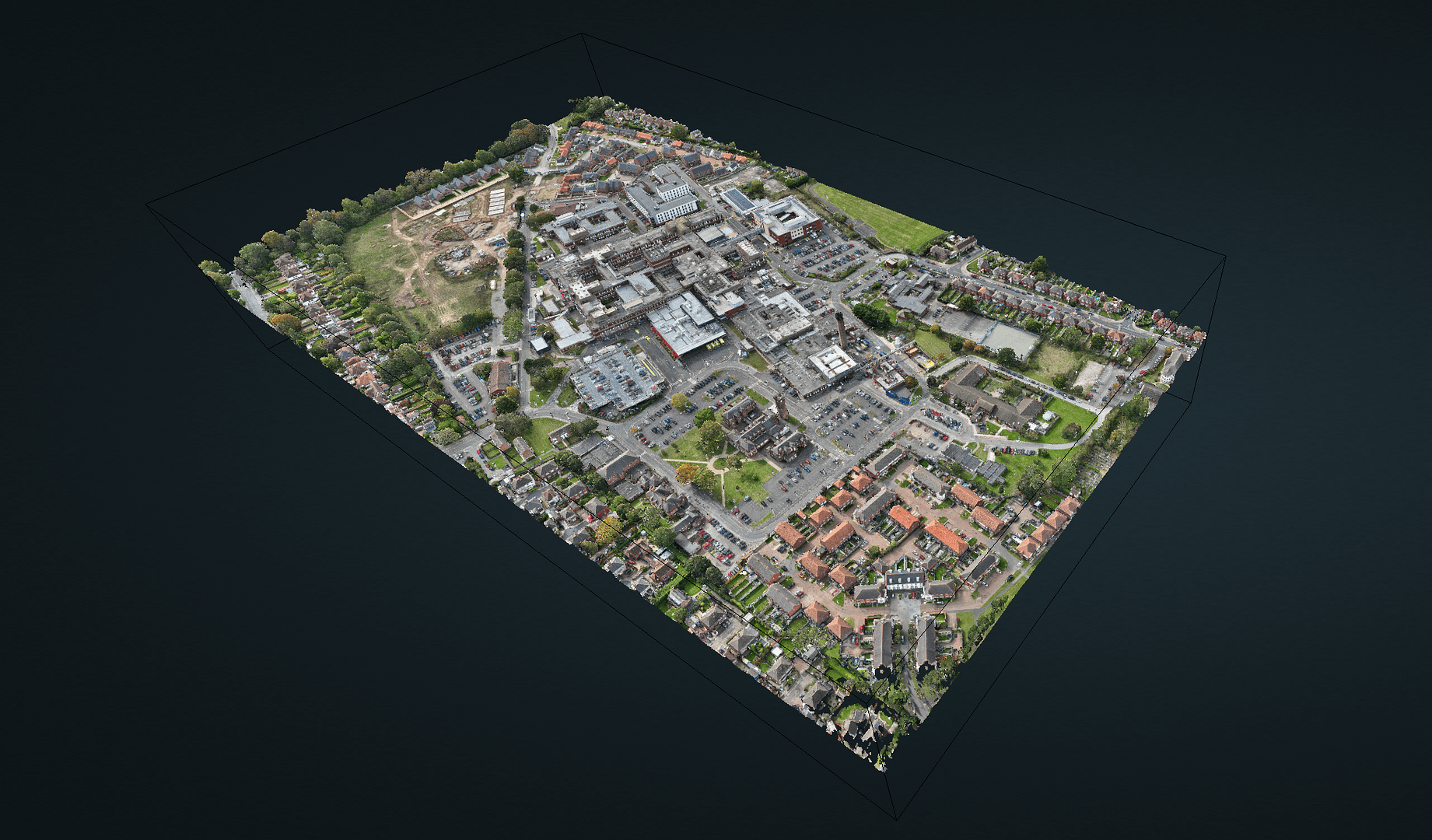
Transform your site documentation strategy through expert preparation. Our planning phase combines precision survey techniques with advanced flight programming to maximise data quality. Each project begins with thorough site analysis, identifying key features and potential challenges. We establish ground control points for millimetre accuracy and design optimal flight paths that ensure complete coverage whilst meeting all safety and regulatory requirements.
Key deliverables:
- Comprehensive flight plans
- Survey control network
- Risk assessments
- Regulatory compliance documentation

Capture
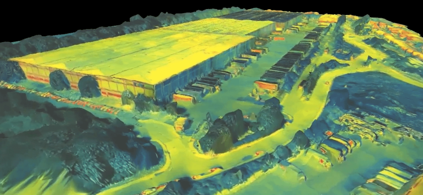
Experience the power of multi-sensor UAV technology in action. Our capture phase deploys high-end drones equipped with LiDAR and photogrammetric sensors to document your site in extraordinary detail. Real-time monitoring ensures data quality whilst our systematic approach guarantees complete coverage. From detailed façade scans to full site surveys, we capture every aspect of your built environment with precision.
Key capabilities:
- High-resolution aerial imagery
- LiDAR point clouds
- POI Detail Highlight
- Multi-angle coverage

Process
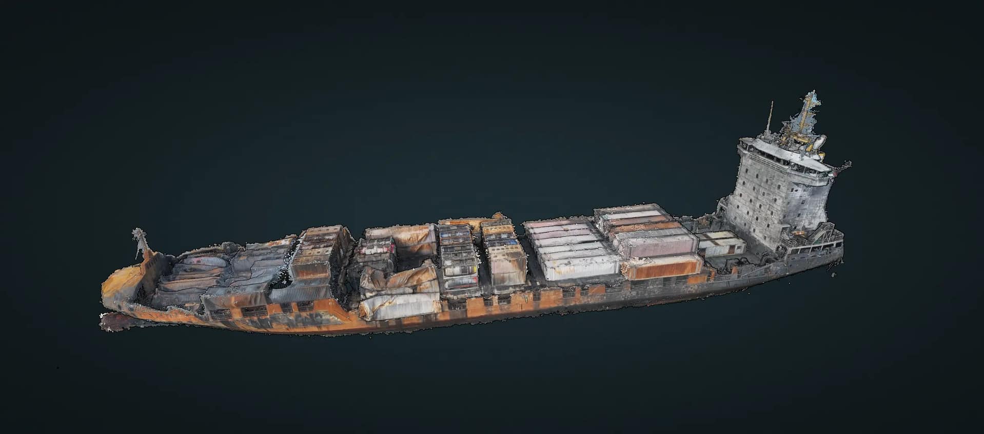
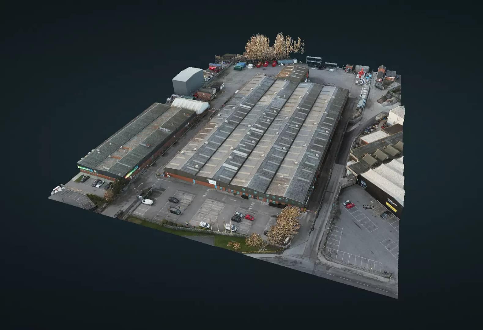
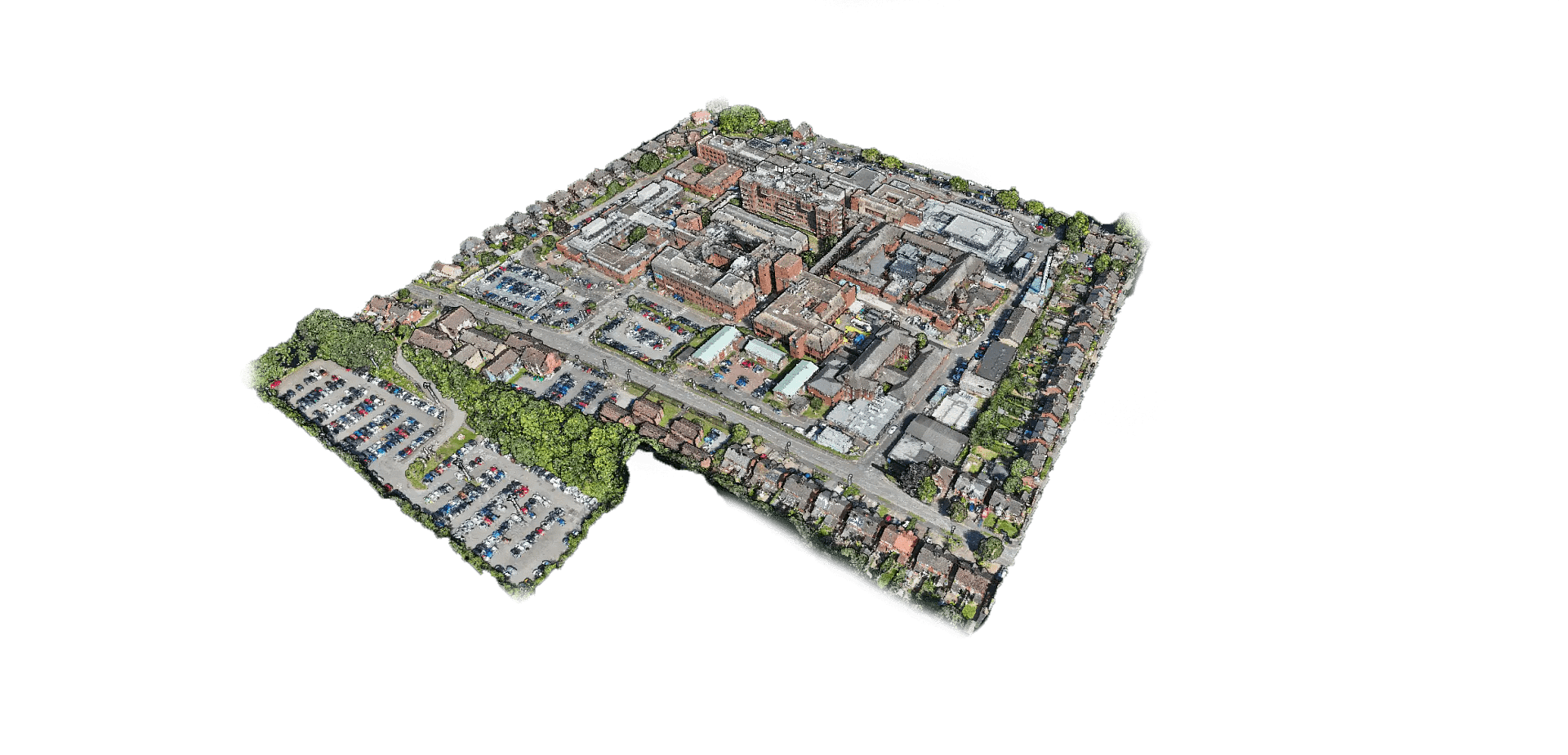
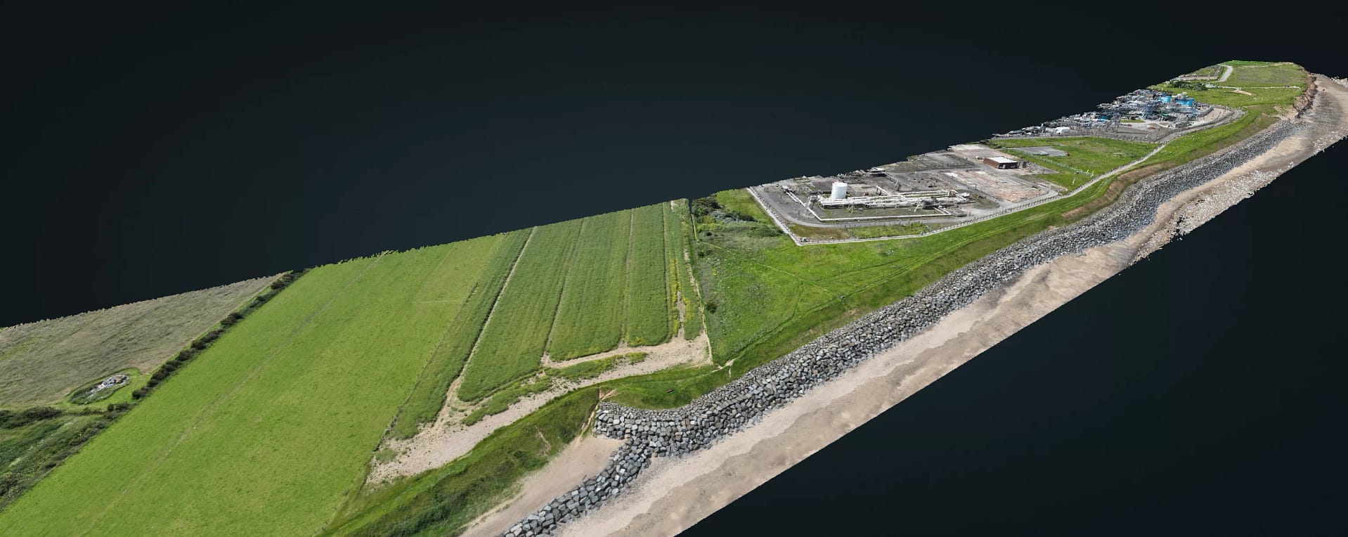
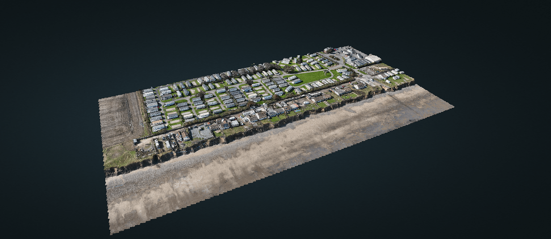
Watch your site data transform into a precise digital replica. Our processing workflow combines automated efficiency with expert oversight to create accurate, intelligent models. Advanced algorithms clean and align vast datasets whilst our technical team ensures every detail meets our exacting standards. The result is multiple highly detailed deliverables tailored to your needs: precision CAD models ready for engineering workflows, individual item and object models for specific asset documentation, and structured BIM data for seamless integration with your existing platforms. Each output perfectly represents your physical assets with survey-grade accuracy and rich, actionable data.
Available formats:
- 3D Model: Optimised, textured meshes for visualisation and analysis
- CAD Model: 2D/3D CAD files ready for engineering and design workflows
- Item & Object Model: Isolated asset models with detailed specifications
- BIM Integration: Structured data compatible with major BIM platforms
- Web-based Solution: Secure, browser-based access to your site data
- Point Cloud Data: Survey-grade point clouds for technical analysis
- Digital Twin Environment: Complete interactive platform for site management

Delivery
Our flexible delivery options ensure you receive your site data in the format that best suits your needs. From raw point clouds for detailed analysis to fully interactive digital twin environments for ongoing site management, we provide tailored solutions that integrate seamlessly with your existing workflows and software systems.
Available formats:
- 3D Model: Optimised, textured meshes compatible with CAD/BIM software
- Web-based Solution: Browser-based platform for instant, secure site data access
- Point Cloud Data: Survey-grade point clouds for technical analysis
- Digital Twin Environment: Complete platform combining measurement, analysis, and collaboration tools
Further Support:
- Centimetric Accuracy Guaranteed
- Measurement tools
- Team collaboration
- Expert support