looking for specific solutions?
CreoPlan's Services

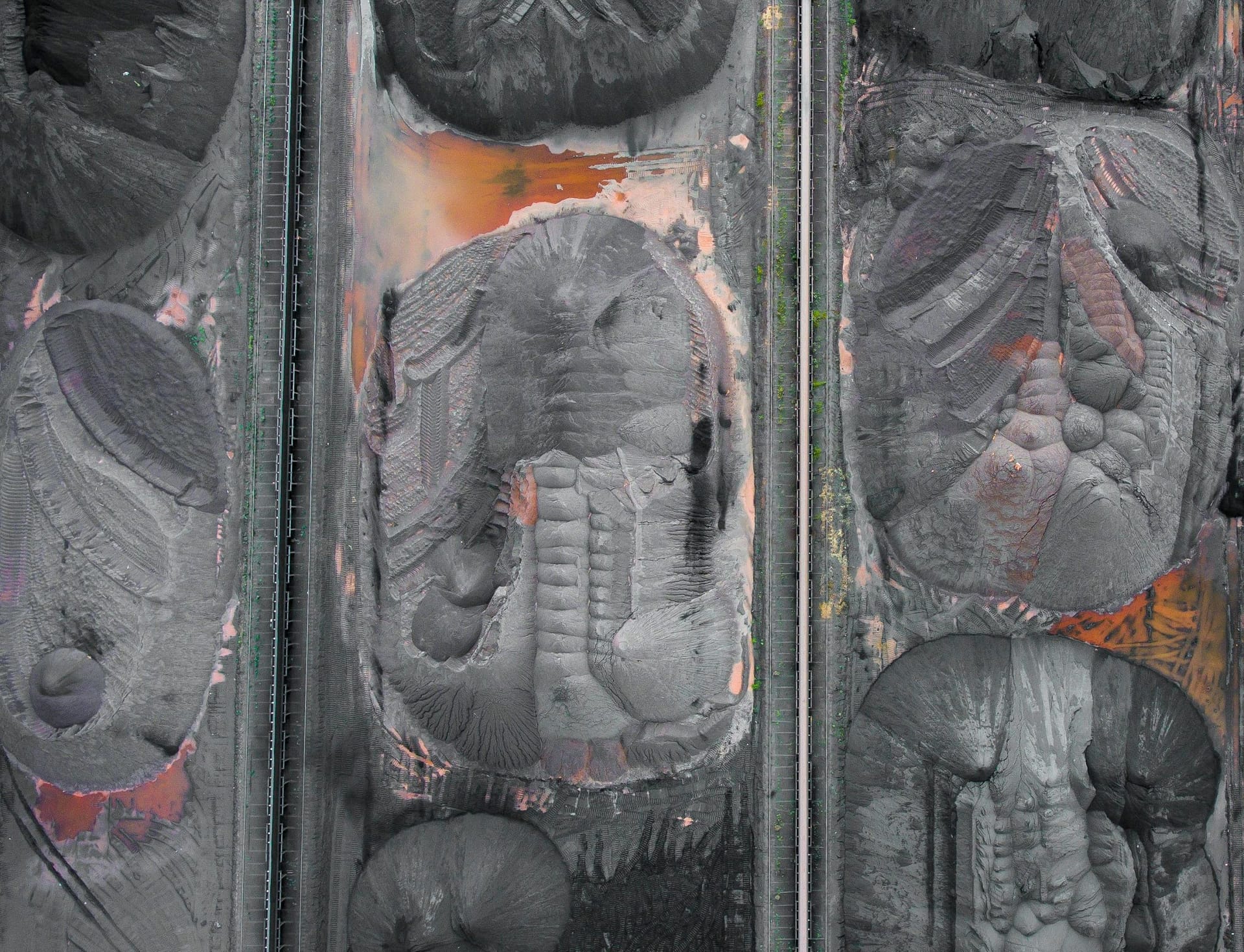
UAV Surveying
High-precision aerial data collection and mapping solutions for comprehensive site analysis.
01
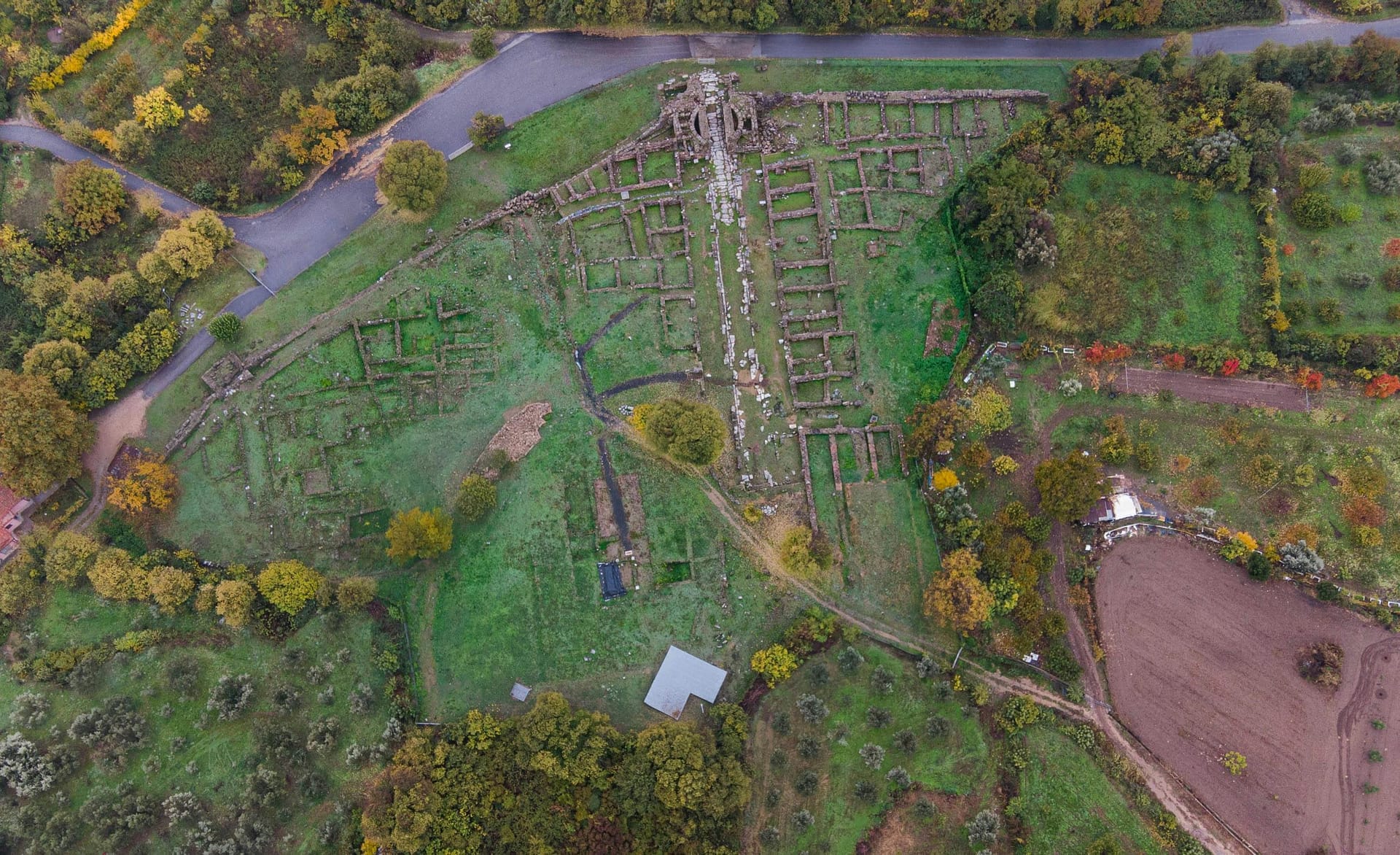
3D Modelling
Advanced 3D visualisation and modeling services to bring your projects to life with precision.
02
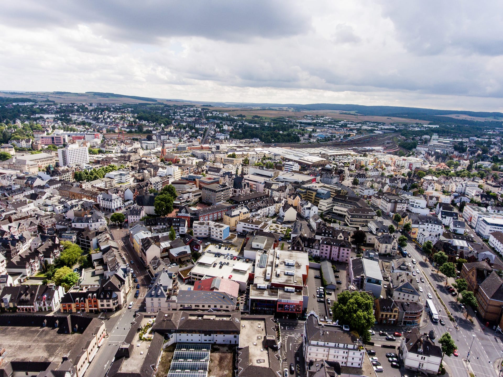
GIS Solutions
Comprehensive geographic information system solutions for data-driven decision making.
03
Digital Twins
Create virtual replicas of physical assets for enhanced monitoring and optimisation.
04
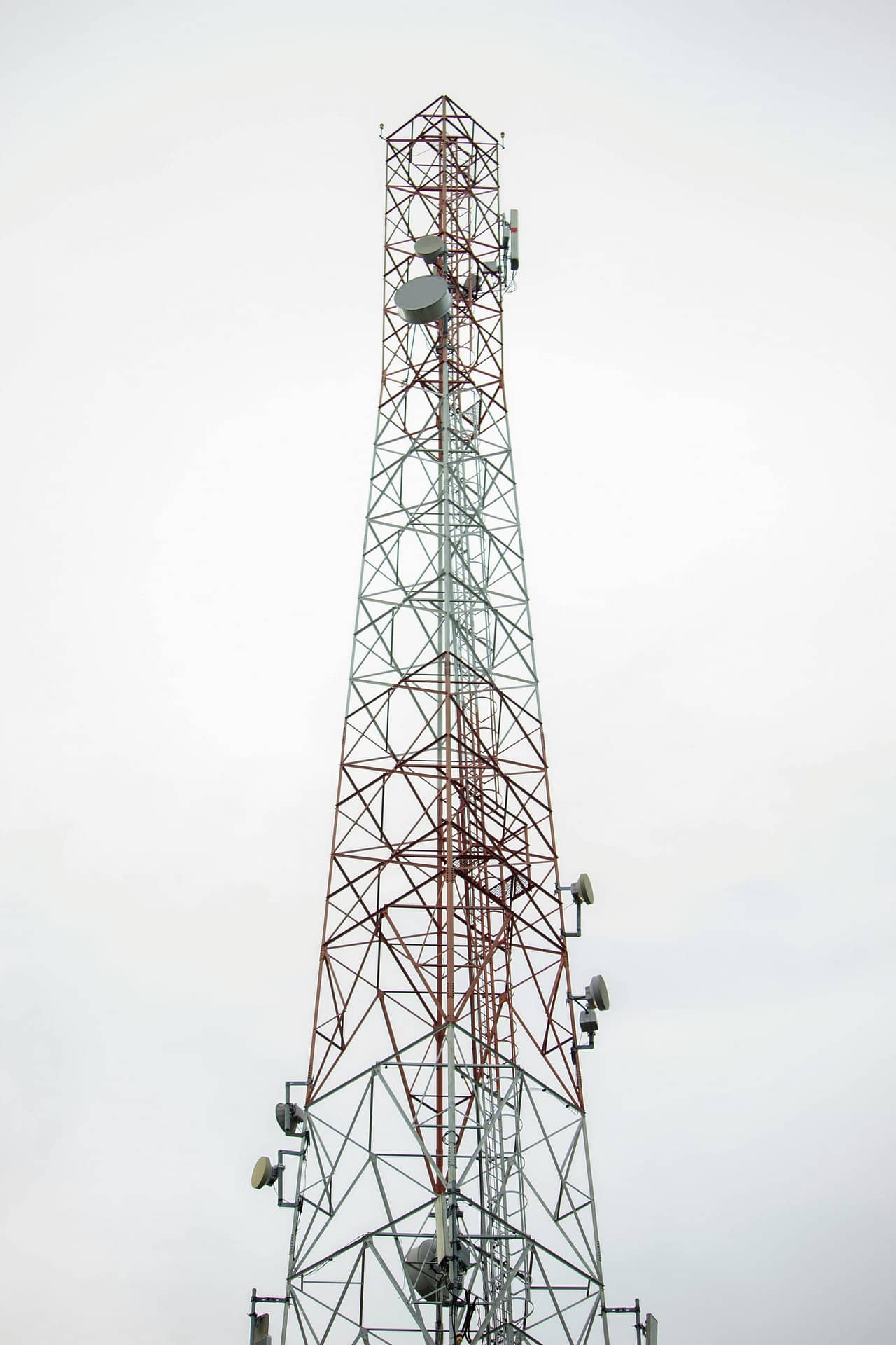
System & Web Development
Custom software solutions and web applications tailored to your specific needs.
05looking for specific solutions?
CreoPlan's Services
UAV Surveying
01High-precision aerial data collection and mapping solutions for comprehensive site analysis.
3D Modelling
02Advanced 3D visualization and modeling services to bring your projects to life with precision.
GIS Solutions
03Comprehensive geographic information system solutions for data-driven decision making.
Digital Twins
04Create virtual replicas of physical assets for enhanced monitoring and optimization.
System & Web Development
05Custom software solutions and web applications tailored to your specific needs.


our
products
Explore our suite of advanced visualisation and 3D modeling platforms designed for diverse industry applications.

CreoViewer ↗
013D pointcloud visualisation web platform

Viewmore 360 ↗
02Interactive panoramic tour platform

Argus ↗
03Rapid 3D modelling platform for reconnaissance