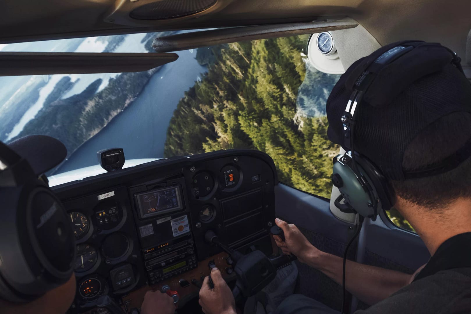
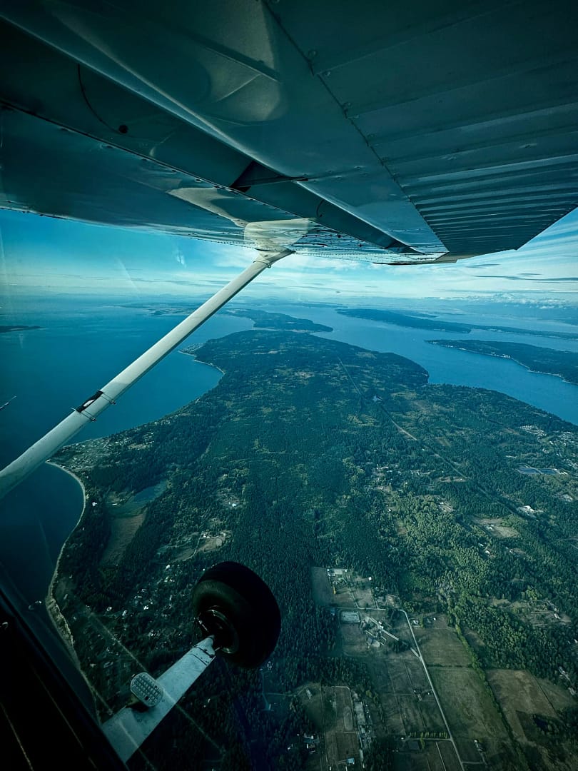
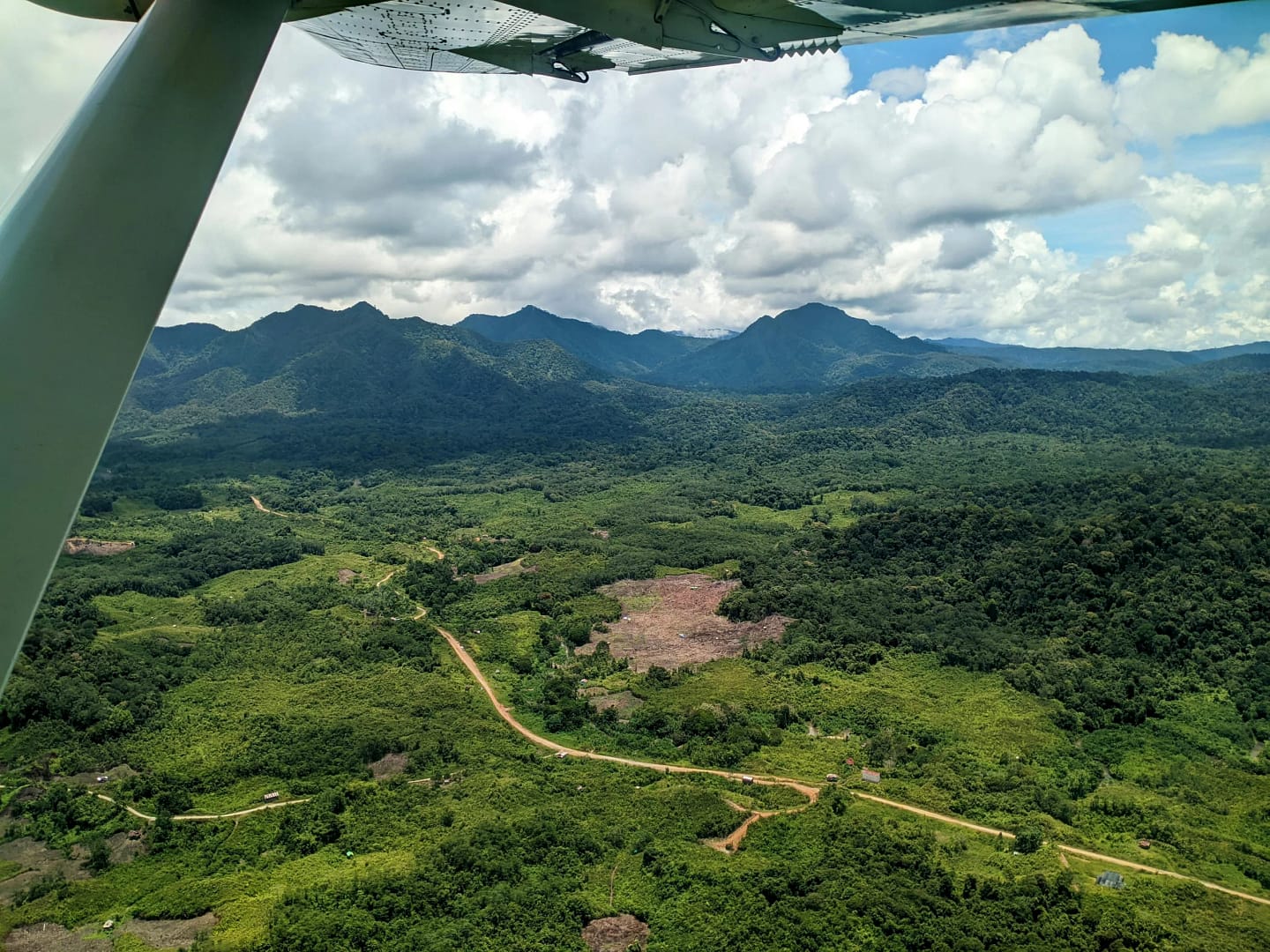
Aerial Photography & Videography

Flight Planning & Mapping

Topographic & Volumetric Analysis

3D Photogrammetry Models

Thermal Imaging
Our Professional Drone Fleet
Advanced Technology for Precision Surveying & Mapping
Agras T40
Max Flight Time
45 minutes
Max Takeoff Weight
40 kg
Spray Width
9 meters
Tank Capacity
40 L
Operating Frequency
2.4GHz / 5.8GHz
Spray System
4 nozzles
Max Working Speed
7 m/s
RTK Accuracy
±10mm
Terrain Following
Radar System
IP Rating
IP67
Matrice 350 RTK
Max Flight Time
55 minutes
RTK Positioning
1cm + 1ppm
Max Speed
23 m/s
Max Payload
2.7 kg
Operating Temp
-20° to 50°C
Vision System
6-Directional
Max Transmission
20 km
Max Wind Resistance
12 m/s
IP Rating
IP55
Supported Gimbals
Multiple
Mavic 3 Enterprise
Camera System
4/3 CMOS 20MP
Max Flight Time
45 minutes
Zoom Camera
56x Hybrid
Video Resolution
4K/30fps
Max Speed
21 m/s
Obstacle Sensing
Omnidirectional
RTK Module
Centimeter Accuracy
Max Transmission
15 km
Storage
DNG + JPEG
GNSS
GPS + GLONASS
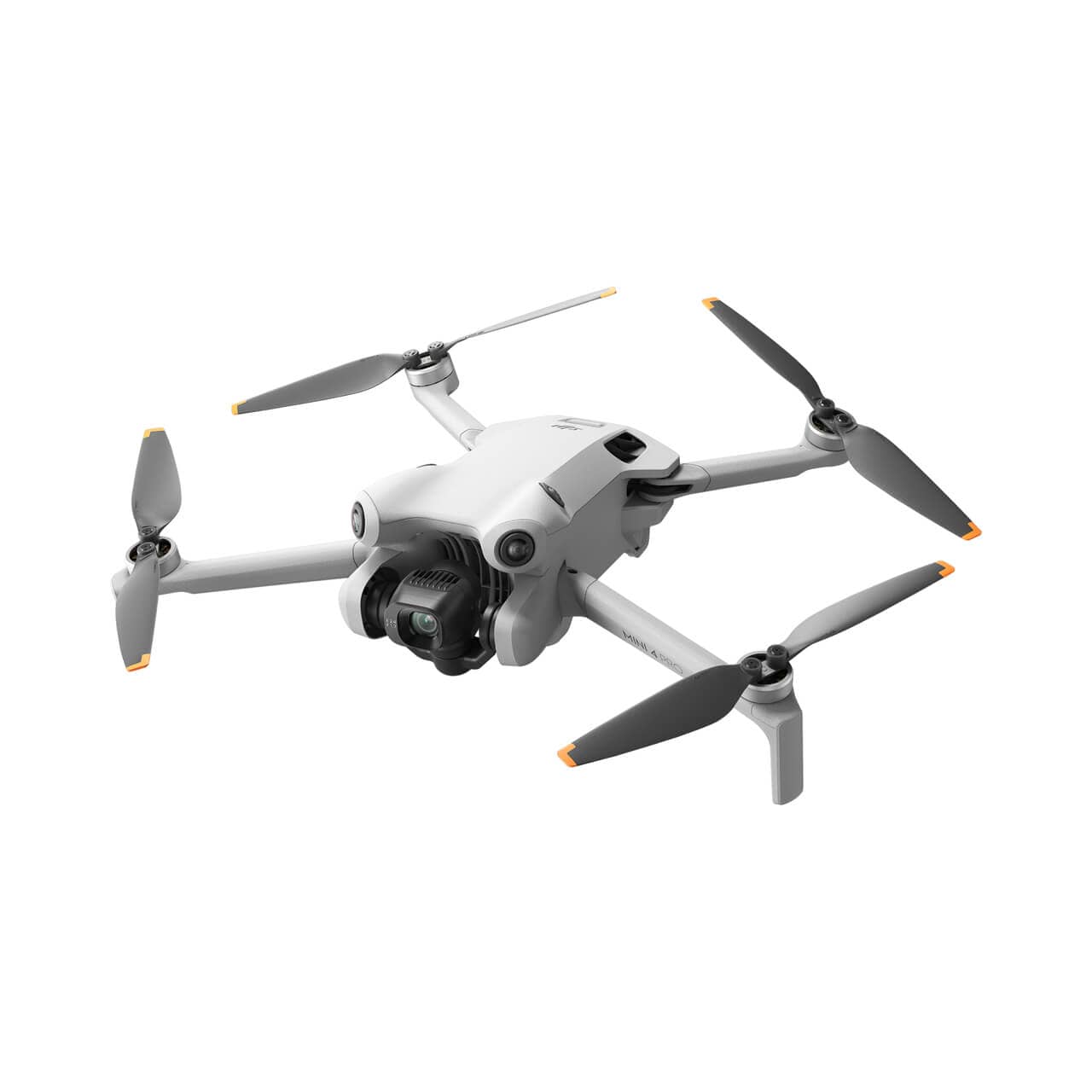
Mini 3 Pro
Weight
< 249g
Camera
1/1.3" CMOS 48MP
Flight Time
38 minutes
Video Quality
4K/60fps HDR
Max Speed
16 m/s
Obstacle Sensing
Tri-Directional
Wind Resistance
10.7 m/s
Transmission
O2 System
Max Range
18 km
FOV
82.1°
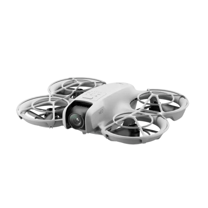
DJI Neo
Weight
135g
Camera
1/2" CMOS 12MP
Flight Time
18 minutes
Video Quality
4K/30fps
Max Speed
6 m/s
Use Case
Tight Space Inspection
Propeller Guards
Full Enclosure
Palm Takeoff
Yes
Max Range
10 km
Stabilization
Single-Axis Gimbal

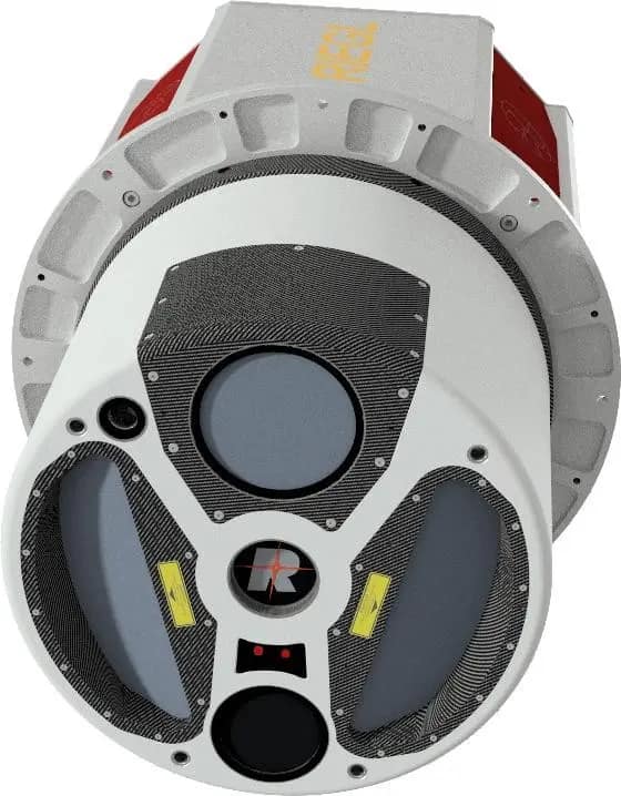
LiDAR Sensors
RIEGL VUX-1LR systems capture millions of points per second, generating dense 3D point clouds with millimetre precision. Ideal for vegetation penetration, complex structures, and terrain modelling.
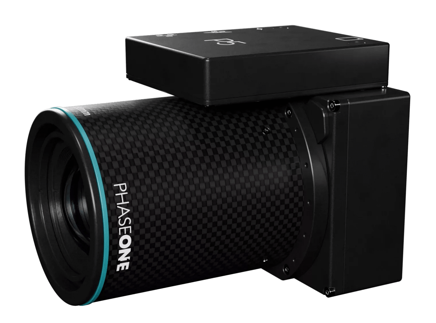
Photogrammetry Sensors
Phase One industrial camera systems deliver ultra-high-resolution imagery for orthomosaics and 3D models. With 150-megapixel sensors and sub-centimetre ground sampling distance, we capture the detail that turns aerial data into actionable intelligence.
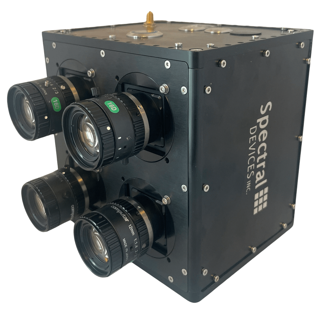
Multispectral Sensors
Multispectral systems analyse reflected light across multiple bands, revealing information invisible to standard cameras. From crop health monitoring to environmental assessment, we see what others miss.