we create commercial 3D Models
increase the efficiency of property mangement
Pointclouds | Internal Scans | Thermal Imaging | Spatial Solutions | Mapping | More
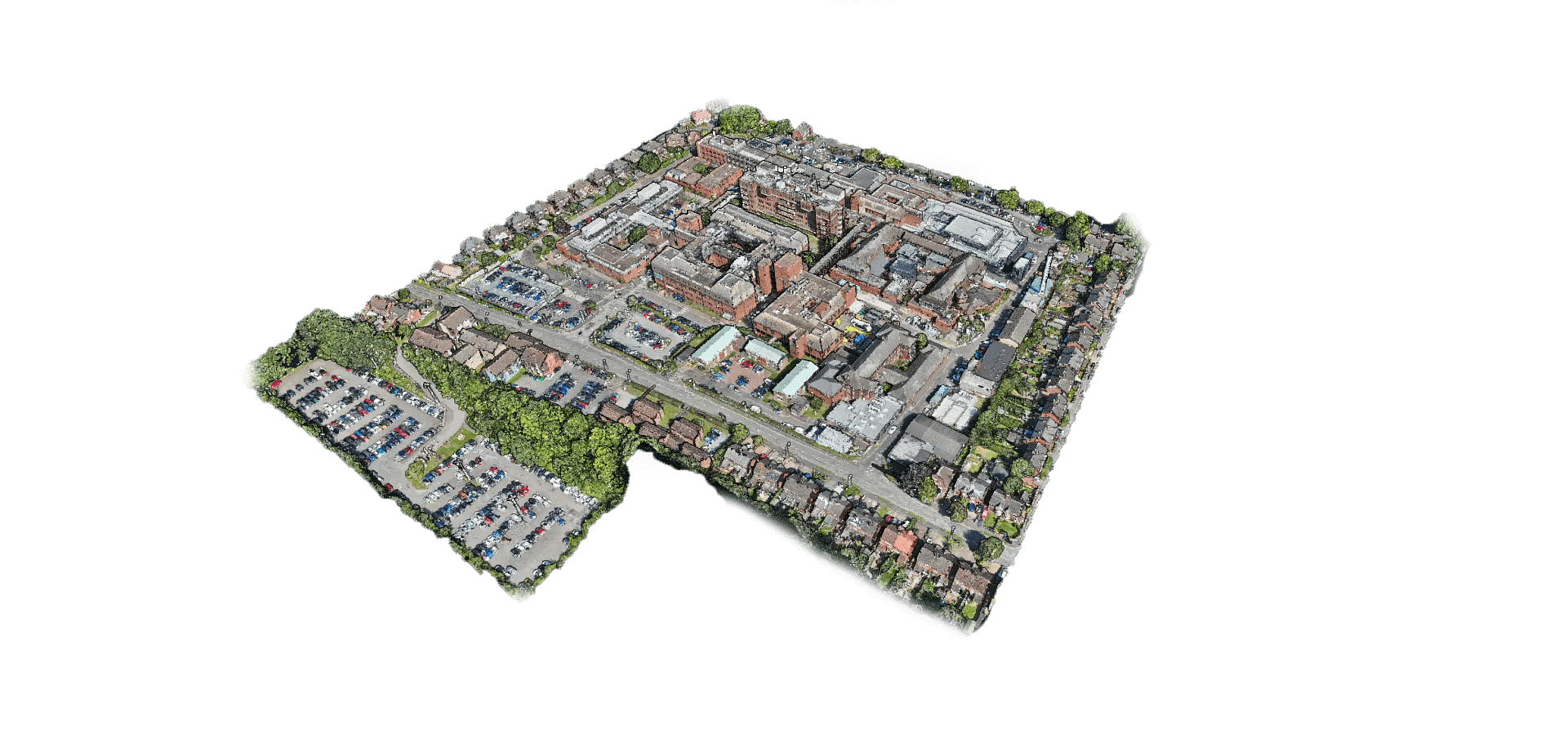
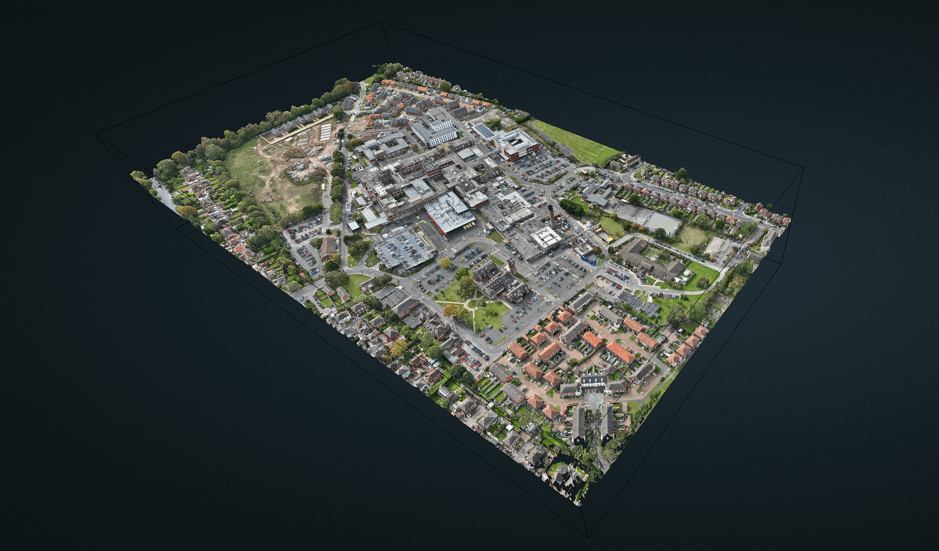
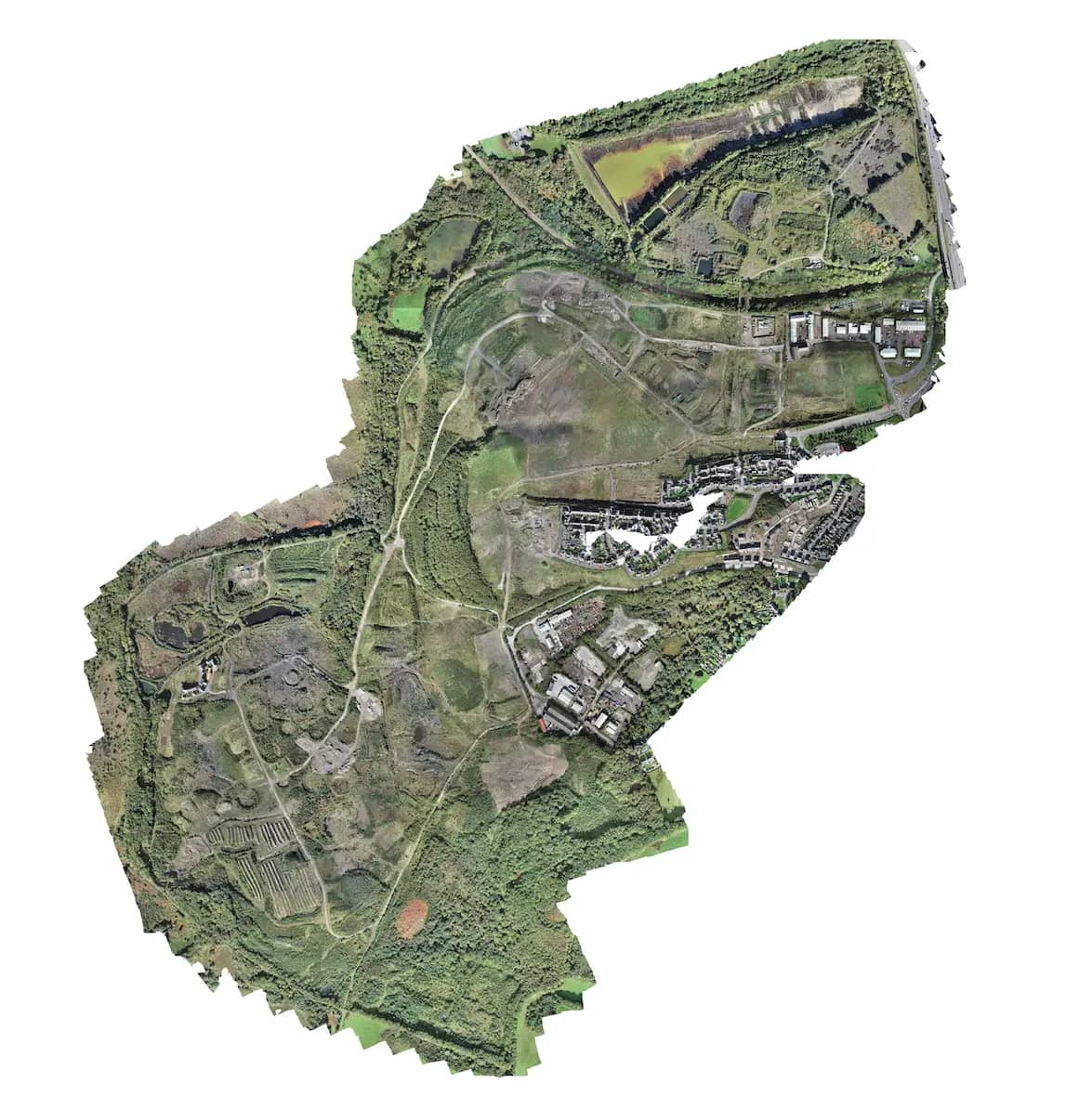
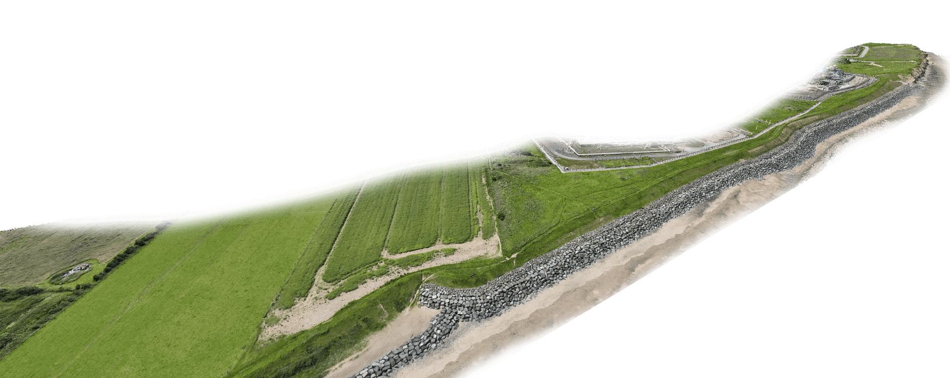
Pointclouds
High-precision point cloud creation of commercial buildings using advanced LiDAR and 3D scanning technology. Visualise your property with millimetre accuracy.
- Complete building digital twin creation
- Precise measurements and visualisation
- Web-based accessibility with CreoViewer
- Integration with existing BIM systems
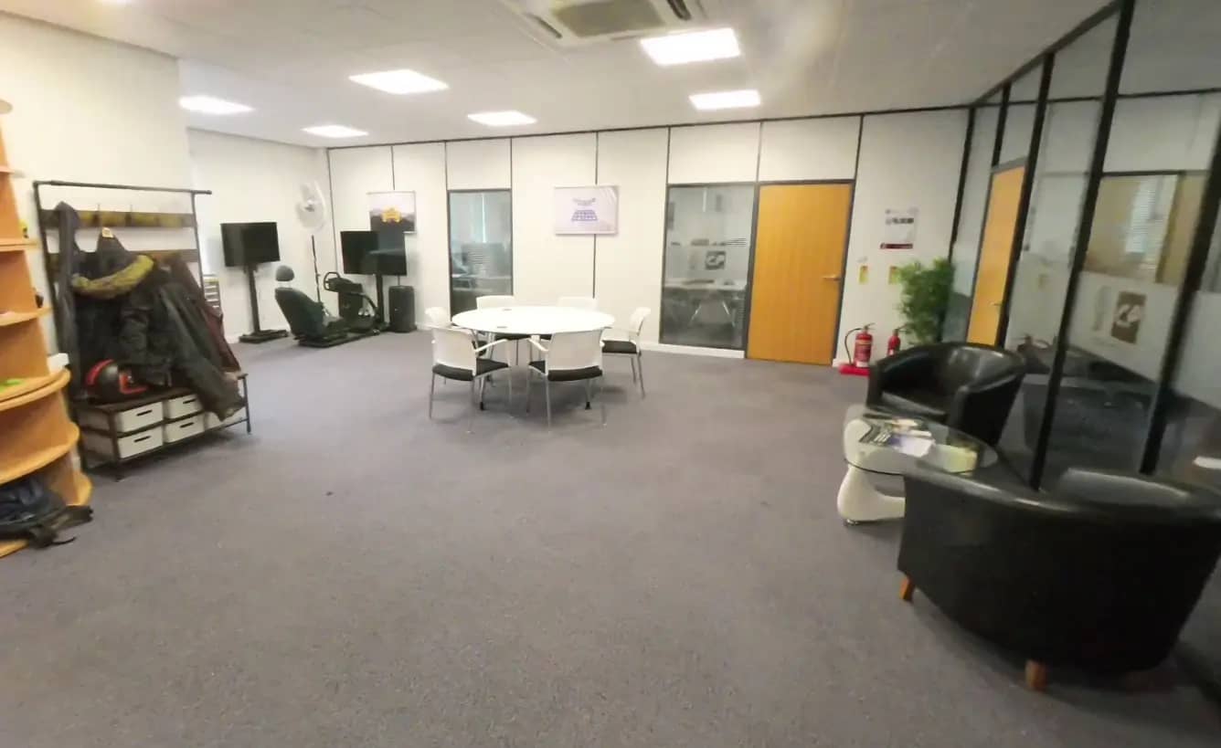
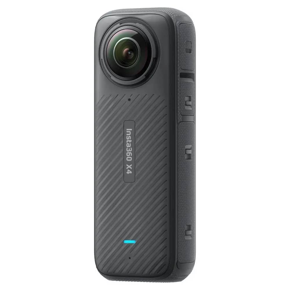
Internal Scans
Comprehensive internal scanning and 360° virtual tours of commercial properties using ViewMore360 technology.
- Interactive 360° virtual walkthroughs
- Detailed internal documentation
- Asset tagging and information embedding
- Space utilisation analysis
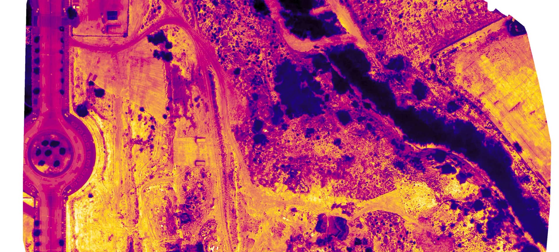
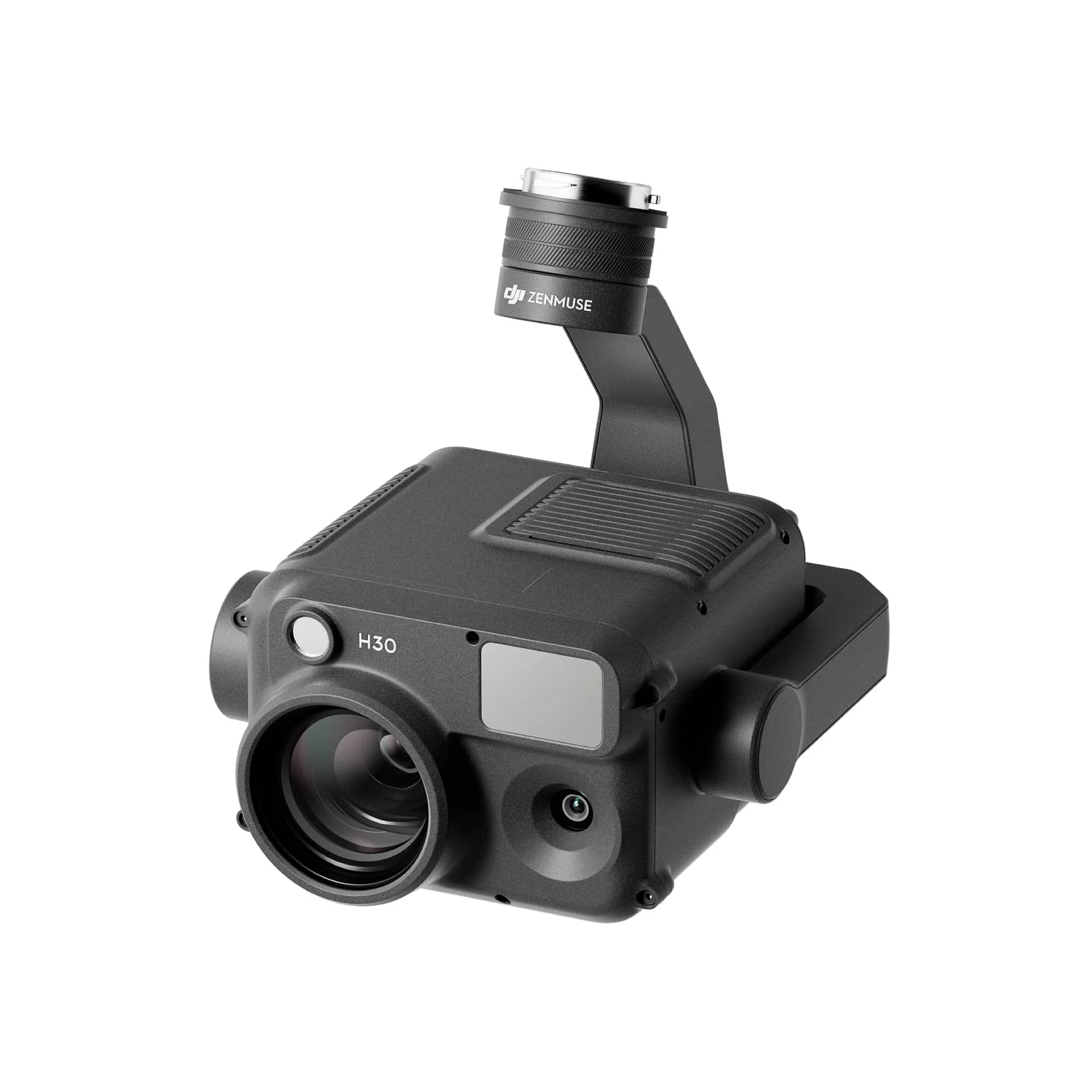
Thermal Imaging
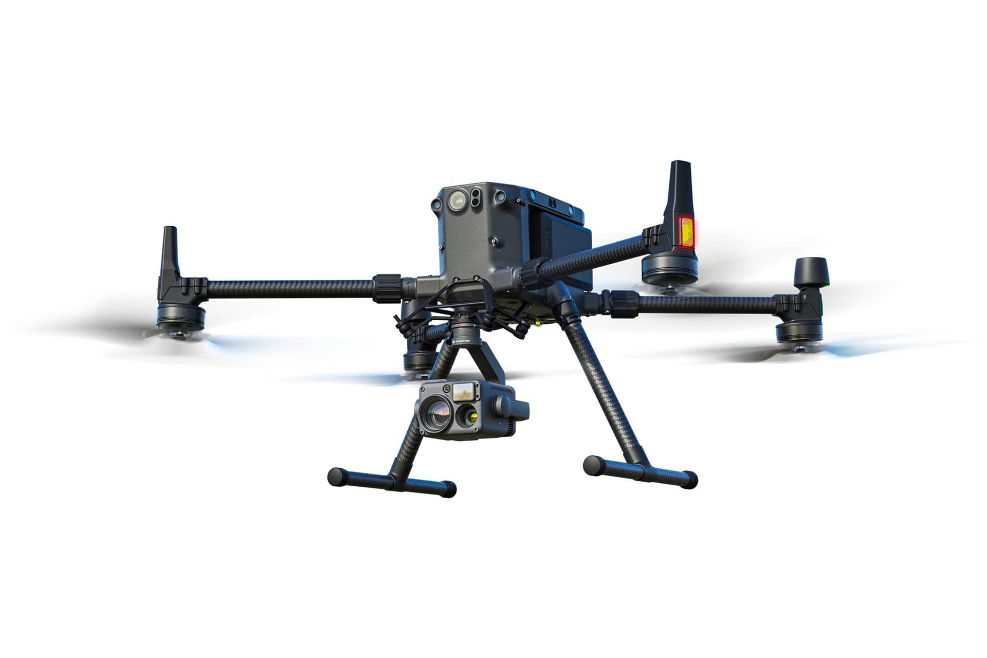
Advanced thermal survey solutions using state-of-the-art UAV technology to identify building envelope issues and energy inefficiencies.
- Heat loss identification
- Moisture ingress detection
- Cold bridging analysis
- Interactive 3D thermal mapping
Spatial Solutions
Custom spatial analysis and GIS solutions that transform complex spatial data into actionable insights for property management and development.
- GIS integration and analysis
- Urban planning and development
- Infrastructure management
- Environmental impact assessment
Mapping
Comprehensive mapping services using UAV technology and advanced surveying techniques to create precise digital representations of commercial properties.
- Detailed site surveys
- Volumetric analysis
- Georeferenced data collection
- Regular monitoring and change detection
Interactive Point Cloud Viewer
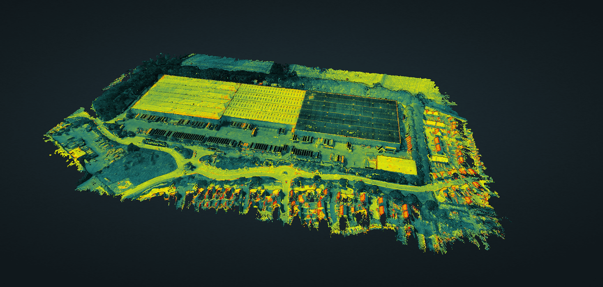
Click to explore our detailed 3D point cloud visualization
advanced technology
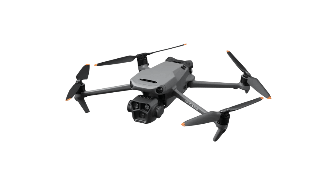
Drone Fleet
Scanning

Imaging
our solutions
CreoViewer
Web-Based Point Cloud Visualisation
ViewMore360
Interactive Virtual Site Tours
UAV Surveys
Advanced Aerial Data Capture
