expertise across sectors
Utilities & Infrastructure

Electricity and Energy Providers
01
Integrated Data Management: Centralise and manage your electricity and energy infrastructure data efficiently, ensuring all information is accessible and up-to-date for optimal decision-making and grid management.
Network Planning and Optimization: Plan and optimise electricity grids and energy distribution networks with precision, ensuring efficient energy delivery and minimising operational costs.
Asset Tracking: Keep comprehensive records of your energy infrastructure, enabling proactive maintenance and reducing downtime.
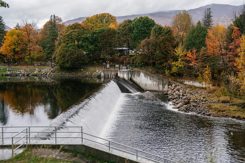
Water and Wastewater Management
02
Infrastructure Optimization: Utilize our tools to plan and design efficient water distribution and wastewater systems, ensuring sustainability and compliance with environmental regulations.
Real-Time Monitoring: Monitor water quality and flow rates in real-time, enabling proactive management and quick response to potential issues.
Leak Detection and Management: Identify and address leaks swiftly, reducing water loss and minimising environmental impact while ensuring cost-effective operations.
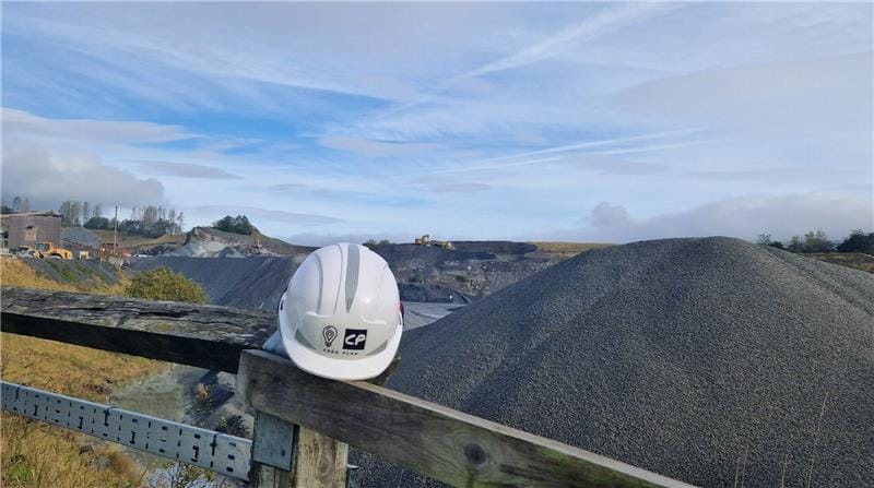
Gas and Oil Companies
03
Pipeline Management: Manage extensive pipeline networks with precision, ensuring safe and efficient transport of gas and oil. Our solutions help track pipeline conditions and plan maintenance activities to prevent failures.
Regulatory Compliance and Documentation: Maintain compliance with industry regulations by keeping detailed records of pipeline inspections, maintenance activities, and safety protocols. The high-stakes energy sector demands reliable documentation to meet stringent standards.
Transport and Infrastructure Agencies
04
Strategic Infrastructure Planning: Develop and implement strategic plans for transportation networks, ensuring efficient connectivity and sustainable growth. Our spatial analysis tools aid in site selection and route optimisation.
Asset Management: Track and manage diverse infrastructure assets, from roads and bridges to public transport systems, ensuring they remain in optimal condition through proactive maintenance.
Risk Management and Mitigation: Identify potential risks to infrastructure projects and implement strategies to mitigate them, ensuring the resilience and longevity of critical transport systems.
Municipal Governments and Urban Planners
05
Urban Development Planning: Facilitate sustainable urban growth with tools that help plan and visualise future developments, ensuring they meet community needs and environmental standards.
Public Infrastructure Management: Oversee the management of public utilities and infrastructure, from water and sewage systems to public transportation, ensuring efficient service delivery and maintenance.
Community Engagement: Use our platforms to engage with the community, providing transparent and accessible information about development projects and infrastructure planning.
Construction and Engineering Firms
06
Project Planning: Streamline the planning phases of construction projects with detailed spatial data, which helps in site analysis, design, and compliance with local regulations.
Design Collaboration and Communication: Enhance collaboration among project stakeholders with shared access to up-to-date project data and designs, improving communication and reducing errors in construction.
Quality Assurance: Implement quality control measures throughout the construction process, ensuring that projects meet required standards and specifications.
Renewable Energy Companies
07
Site Selection: Utilise advanced spatial analysis to identify optimal locations for renewable energy installations such as wind farms and solar panels, considering factors like sun exposure, wind patterns, and land availability.
Environmental Impact Assessments: Conduct thorough environmental assessments to ensure renewable projects comply with regulations and minimise ecological disruption, supporting sustainable energy development.
Grid Integration Planning: Plan the integration of renewable energy sources into existing power grids, optimising energy distribution and storage to maximise efficiency and reliability.