
Surveying Technology at National Scale: Aerial Mapping Entire Territories

National aerial surveying covers thousands of square kilometres per flight, delivering survey-grade accuracy across entire territories. Fixed-wing platforms equipped with LiDAR, photogrammetry, and multi-sensor systems capture terabytes of geospatial intelligence for government, defence, and infrastructure projects. From regulatory compliance to data processing at scale, territorial mapping demands technical sophistication and international deployment experience.
Surveying the Future: CreoPlan’s Step-by-Step System for Coastal Erosion
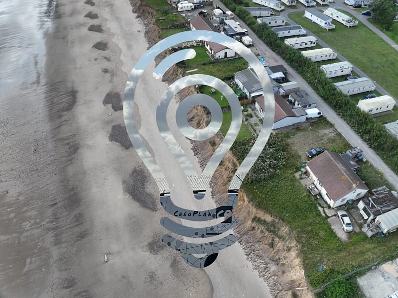
CreoPlan’s coastal erosion monitoring system combines surveys, LiDAR and GIS analysis. Discover our proven methodology for accurate erosion tracking and environmental management.
New & Advanced – Innovating Coastal Monitoring: East Riding of Yorkshire Case Study
Overview CreoPlan has revolutionised coastal monitoring along the East Yorkshire coast, establishing the region’s most comprehensive survey programme. Currently monitoring 60% of East Yorkshire’s coastline, our work spans from the chalk cliffs of Flamborough Head to the unique landscape of Spurn Point, encompassing fifteen critical coastal sections. This extensive coverage has positioned CreoPlan as the […]
Digital Twins: 10 Unbelievable Applications & the Future of Digital Twins
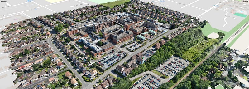
Explore the future of digital twins with CreoPlan! Discover 10 innovative applications transforming industries like infrastructure, healthcare, and smart cities.